
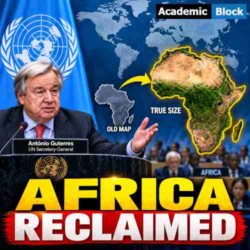
UN Backs New World Map to Show Africa’s True Size Accurately
The United Nations General Assembly has backed a new approach to mapping the world. The move aims to show Africa’s true size more accurately and reduce reliance on the centuries-old Mercator projection. Togo led the initiative with support from other African states. The resolution promotes the 2018 Equal Earth projection, which offers a more accurate representation of continental land areas. However, the measure does not legally require countries to replace their existing maps. It instead encourages a broader discussion about how the world’s geography has been represented and understood.
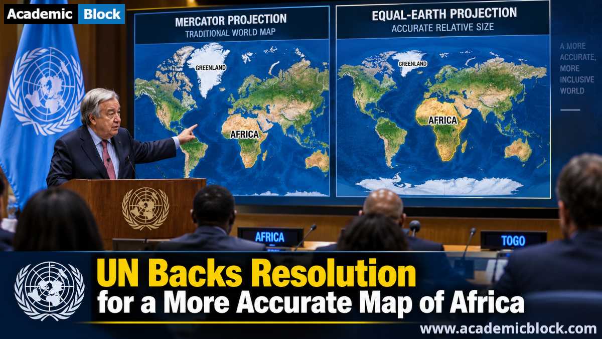
The resolution won 164 votes in favour, while the United States was the only country to vote against it. Six countries abstained from the General Assembly vote. Washington called the measure an ideological agenda and described it as a distraction from wider global problems. Togo, however, has presented the campaign as both a scientific and educational effort. It argues that more accurate maps can improve public understanding of geography and the relative size of continents. The UN vote has therefore given the Africa true size map campaign significant international visibility and strengthened its push for a more accurate representation of the continent.
Why the Mercator Map Makes Africa Look Smaller
The debate over Africa’s true size begins with the Mercator projection, created by Flemish cartographer Gerardus Mercator in 1569. He designed the map mainly to help sailors navigate the seas. In the Mercator map, this distortion becomes stronger toward the poles. As a result, places such as Greenland appear much larger than they actually are. The difference becomes clear when Africa and Greenland are compared. Greenland covers about 2.2 million square kilometres, while Africa covers roughly 30.4 million square kilometres. Therefore, Africa is about 14 times larger than Greenland, even though both can appear surprisingly similar in size on a Mercator map.
This visual distortion has also shaped how generations of people have understood the relative size of different regions. However, the Equal Earth projection, developed by Tom Patterson, Bernhard Jenny and Bojan Šavrič in 2018, takes a different approach. It represents continental areas more accurately and gives Africa a visual size closer to its actual landmass. In addition, it provides a stronger option for geography education, world maps and area comparisons. The Mercator projection remains valuable for navigation, while Equal Earth offers a clearer picture of the world’s actual land areas.
Africa Uses the UN Map Vote to Challenge Colonial-Era Global Perceptions
For African states, the UN map vote represents more than a debate about cartography. Togo has linked the campaign to a broader effort to challenge colonial-era legacies and reshape how Africa is viewed around the world. Supporters argue that the Mercator projection makes Africa appear smaller than its actual size. They say such visual distortions can influence perceptions in education, media, economics and international affairs. The African Union endorsed the wider #CorrectTheMap campaign in August 2025, giving the initiative broader continental support. The campaign seeks a more accurate representation of Africa and greater influence over how the continent appears in global maps and educational materials.
Togo has also turned the technical debate into a discussion about Africa’s global voice and representation. Supporters want schools and institutions to use maps that show continental areas more accurately. In addition, Togo plans to engage governments, international organisations and technology companies. The effort could therefore extend beyond classrooms into digital mapping and location services. The strong UN backing has given the campaign diplomatic momentum and highlighted how the question of a world map can also become part of wider global geopolitics.
Web Resources On New World Map to Show Africa’s True Size
1. BBC News: UN votes to adopt new world map to reflect Africa’s true size.
2. The Guardian: UN votes to adopt new world map that shows Africa’s true scale.
3. Reuters: UN approves resolution in support of map that shows Africa’s true size.
4. DW News: UN approves world map reflecting true size of Africa.